

Met Eireann warn new event 'main driver of our weather' for next few days
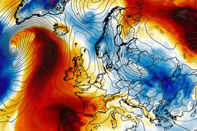

It looks like the weather is about to do a complete reversal
Met Eireann has warned that a new weather event will be “the main driver of our weather” starting now and into next week.
The National Forecaster has released its early ‘further outlook’ forecast for next week saying that temperatures will spring back into the low twenties with lots of dry weather on the way too.
A spokesperson for Met Eireann said: “Current indications suggest that high pressure will be the main driver of our weather for midweek.
“While there will be some rain or showers, there will be plenty of dry weather. Highs will reach the high teens to low twenties, becoming drier and more settled as the high pressure builds.”
Thursday will be fresh and blustery for the day with sunny spells and scattered showers coming and going from morning through to afternoon.
Temperatures of 17C will drop to 8C overnight but staying dry with clear spells as cloud builds from the west into Friday morning.
Here’s Met Eireann’s forecast for tomorrow and into the weekend:
Tomorrow: “Mostly cloudy tomorrow but largely dry at first. Outbreaks of rain will extend eastwards to all areas through the morning with mist and hill fog. The rain will become patchier in the afternoon and will clear to showers in the north and west in the evening. Highest temperatures of 15 to 18 degrees in moderate to fresh and gusty southwest winds, stronger for exposed coasts.”
Friday night: “Mostly cloudy at first with patchy rain and drizzle, along with mist and hill fog, becoming confined to southern areas as clear spells and isolated showers follow from the northwest. Temperatures will not fall below 11 to 15 degrees in moderate to fresh west or southwest winds.”
Saturday: “Rain, drizzle and mist will clear from southern areas in the morning to leave a mix of sunny spells and well scattered showers, most frequent over the northern half of the country. Highest temperatures from 15 degrees in the northwest to 20 degrees in the southeast, all in moderate to fresh westerly winds, stronger in the northwest.”