

Galway heatwave weather warning ends as Met Eireann forecast big change coming
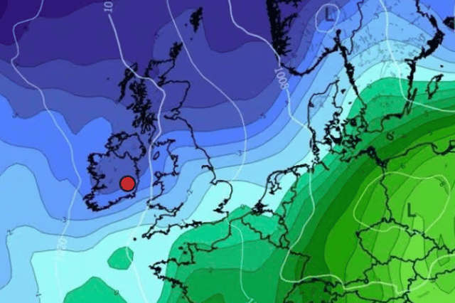

It was sadly never going to last forever
Galway’s high temperature warning ended at 6am on Friday morning with no signs of the alert being extended or a new one being introduced.
This could signal the end of the extremely warm weather for the west and rest of Ireland meaning we could be back down to only - we say jokingly - mid to low 20s.
Friday will be the last of the summer wine in terms of weather for the moment as temperatures hit 29C for a long dry day with plenty of sunshine.
These will dip to under 20C in some areas before turning a little fresher than recent nights as the dial goes to as low as 9C.
Here’s how Met Eireann say the weekend is looking at the moment:
Overview: “Mostly dry with high pressure centred in the nearby Atlantic. A bit cooler and cloudier for west and northwest counties with patchy drizzle at times. Some rather warm sunny spells elsewhere.”
Tomorrow: “Staying dry and warm for most again on Saturday with no more than moderate northerly breezes. Highest temperatures of 23 to 27 degrees across the Midlands, South and East with long spells of summer sunshine. Somewhat cooler and cloudier for north and northwest counties with highest temperatures of 17 to 22 degrees.”
Sunday: “It will be dry with hazy sunshine and light northerly breezes. It will be warmest over Leinster and Munster with top temperatures of 21 to 25 degrees. A little cooler and cloudier at times across Connacht and Ulster with top temperatures of 16 to 21 degrees, best values away from coasts.”