

New Met Eireann weather warning issued for Galway as higher temperatures and thunderstorms forecast

There could be more warnings on the way too before the week is out
A new high temperature warning has been issued for Galway with alerts extended for the heatwave until Friday.
The updated status yellow has been put in place for all of Connacht as well as: Carlow, Kildare, Kilkenny, Laois, Longford, Offaly, Westmeath, Cavan, Donegal and Munster.
This alert kicks in from Wednesday midday until Friday morning with Met Eireann warning of water safety issues due to increased use of lakes, beaches and waterways; uncomfortable sleeping conditions; heat stress; forest fires and drought
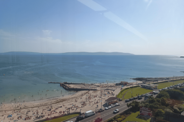
Tuesday will be warm and dry with lots of sunshine as temperatures hit maximums of 29C around the west.
It will be another sticky night trying to sleep as well with the dial only moving down to around 19C as long spells of warm and dry weather fill the air.
This is how the rest of the week is looking according to Met Eireann:
Wednesday: “Tomorrow will be very warm or hot with temperatures reaching 24 to 30 degrees generally. Less warm in the east and northeast though, as a light to moderate easterly breeze continues. The morning will be mostly dry and sunny, although a few showers may develop in the southwest. During the afternoon and evening, scattered heavy showers are likely to develop in parts of Munster and Connacht, with a chance of isolated thunderstorms.
Thursday: “There is a chance of isolated showers in the southwest on Thursday, but otherwise it will be dry and sunny. Highest temperatures of 24 to 29 degrees generally, but not as warm near some northern coasts due to a light to moderate north to northeast breeze and possibly some coastal fog.”