

Met Eireann forecasts areas getting thunderstorms before big weather change hits Ireland
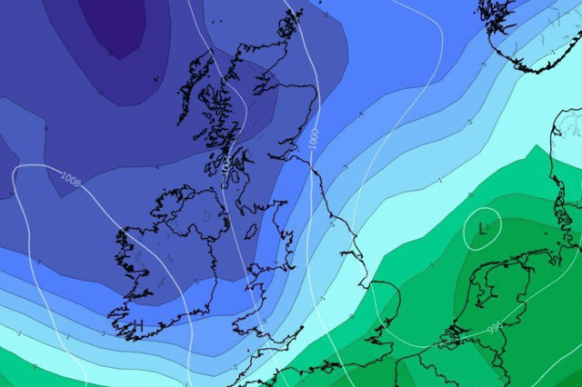

There will be heavy showers on Wednesday with isolated chances of thunderstorms for most areas
Met Eireann is warning that most Irish areas will experience thunderstorms on Wednesday and possibly into Thursday before the weather takes a big turn.
Wednesday will be cloudy with the occasional sunny spell and frequent shower with these showers turning heavy and possibly thundery leading to a few stormy hours across the country.
Temperatures of 12C will drop to around 1C overnight and will remain most persistent in the south and northeast. Showers will once again turn heavy and thundery at times with light breezes allowing mist and fog to set in overnight.
Here’s Met Eireann’s updated weather forecast for the next few days:
Overview: “Continuing mostly unsettled with the occasional dry and bright spell.”
Tomorrow: “Remaining cloudy for the day with scattered showers. The occasional bright or sunny spell may break through at times. Again, some showers may heavy at times or thundery. Highest temperatures of 8 to 11 degrees in light to moderate easterly or variable breezes.”
Thursday night: “Generally cloudy with light outbreaks of rain and drizzle. It'll be clearer and drier further north and northwest. Mist and fog patches will set in overnight too, mostly confined to the west and midlands. Lowest temperatures of 1 to 5 degrees, in mostly moderate easterly breezes.”
Friday: “Any rain and drizzle will clear from the south and east through the morning, leaving a mostly dry day overall with sunny spells. Highest temperatures of 6 to 11 degrees, mildest in the south, in light to moderate north to northeast breezes.”
Friday night: “Cloud will increase from the southwest overnight with light outbreaks of rain and drizzle. Mist and fog patches will form overnight. Light to moderate southeasterly winds, fresher along southwest coasts. Lowest temperatures of 0 to 5 degrees, possibly falling colder in the north.”
Saturday: “After a brief bright start, Saturday will be mostly cloudy but dry. Rain and drizzle will linger along southern coasts through the day before more persistent rain moves in from the southwest later in the evening. Highest temperatures of 9 to 13 degrees, mildest in the southwest, in light to moderate southeasterly breezes. Overnight rain will continue to spread northeastward, turning heavy at times in the south.”