

High-tech analysis of Connemara’s cemeteries allows descendants trace their roots

Digital maps of seven Connemara graveyards were officially launched this week, offering the key to unlock the past for the residents and diaspora of Ballinakill Parish.
The project, which involved hundreds of hours of volunteer work, got underway in Covid as part of community development agency Connemara West’s 50th anniversary celebrations.
And after two years of recording headstone inscriptions, digital maps of the seven graveyards in Ballinakill Parish are now available on Galway County Council’s dedicated graveyard heritage website.
Janet O’Toole of Connemara West said the launch of the digitised maps was the result of dedicated volunteers giving over their time, and expert guidance delivered by the County Heritage Officer, Marie Mannion with her team in the County Council.
“We have mapped seven graveyards in this area and they are now part of this bigger project from the County Council. It’s online and anybody can enter their surname to find where their ancestors are buried,” she said.
The graveyards covered as part of this project are Renvyle, Tooreena, Salrock, Letterfrack Boys’ Cemetery, Banogues, St Thomas’ and Ballinakill.
They system works using information gathered by volunteers from headstones in the cemeteries combined with drone photos which allow users to pinpoint the exact plot they’re looking for.
While there are many graves that are unmarked by a headstone, Ms O’Toole said by launching the digital maps this week, they hope some of those gaps may be filled in.
“At this stage of the project, Connemara West is holding a number of open days in the Connemara West Centre where the maps will be available. Local people’s knowledge and expertise is an essential component of the project and could help identify unknown graves,” she said, adding that the maps would be available in Letterfrack daily until October 28 for people to call in and view.
Ms O’Toole said as Connemara West’s 50th year came around during Covid, they were looking for a way to mark the occasion and graveyard mapping offered the perfect “Covid project”.
As well as providing a window into the heritage of Ballinakill, it was a practical project during Covid restrictions as the work of gathering information could be done in the great outdoors.
“When we launched it, we knew it was something people in the area would be interested in. We had three talks on Zoom and around 120 people turned up to each one of them.
“The volunteers went out to gather the information from the headstones. We had some volunteers that were treating it like nearly a full-time job and others who were interested and helped out when they could,” said Ms O’Toole.
“There was just great enthusiasm for it – people were out in graveyards in rain, hail or shine, dealing with midges and horseflies and trying to get through the ferns to gather the information we needed,” she continued.
With the map now online, Ms O’Toole said it will offer a useful resource on a number of levels.
“On a very simple level, a person in Australia could look at a grandparent’s grave back home.
“On another level, it will be a useful research tool for people looking for their roots in Connemara,” she said.
The project is supported by the Council’s Heritage Office and Forum Connemara through the Leader Programme.
To view the digital maps, visit www.galway.ie/graveyards/map
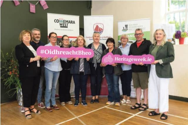
Pictured: Connemara West staff and graveyard mapping volunteers pictured at this week's launch in Ellis Hall, Letterfrack. From left, Breda Coneys, Colin Clarke, Dolores Walsh, Janet O’Toole, Carol Cronnelly, Fiona Lydon, Patricia Glynn, Ena Ruddy, Jeremy Madden and Desiree Flynn-O’Rourke.